← INDEX
NO. 04 · CIVIC DATAIN DEVELOPMENT · --:-- EDT
Disparu Montréal.
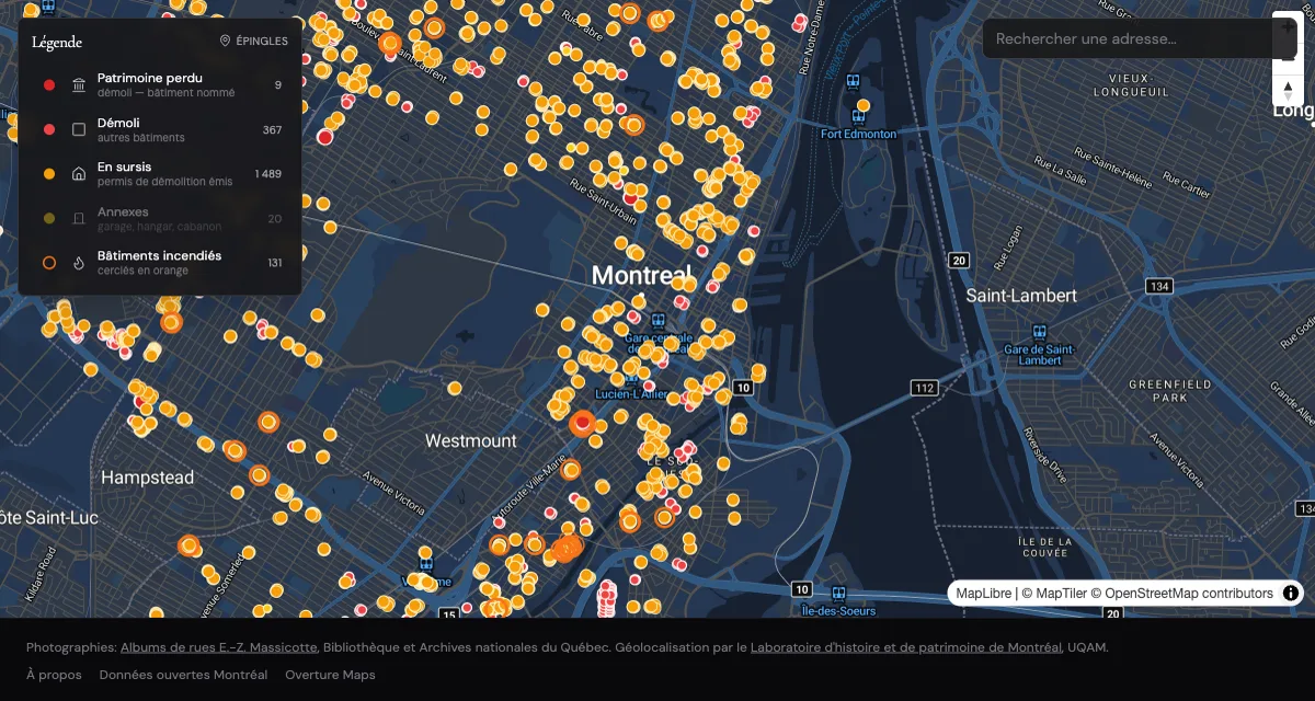
The city keeps demolishing its past. This map remembers it,
automatically.
- PROBLEM
- Montréal issues demolition permits constantly, and the record of what stood there scatters across city databases and archival collections nobody cross-references.
- APPROACH
- Join three sources that were never designed to meet. The city's demolition permit feed, Overture building footprints, and BAnQ archival photography. A scheduled sync ingests new permits so the map stays current without maintenance.
- ARCHITECTURE
- React 19 and MapLibre GL on the front. Neon Postgres with PostGIS for geometry and pgvector for archival photo matching, Drizzle for the schema, and Netlify scheduled background functions for the permit sync.
- STACK
- React 19, TypeScript, MapLibre GL, PostGIS, pgvector, Drizzle, Netlify DB.
- OUTCOME
- The permit sync runs on schedule and the map grows on its own. Public launch in progress.